
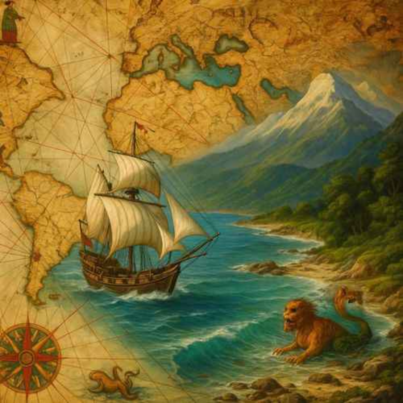
The Piri Reis Map: Do Ancient Maps Show an Ice-Free Antarctica?
Jul 15, 202623m
The Piri Reis map was drawn in 1513 by the Ottoman admiral and cartographer Piri Reis and depicts parts of Europe, Africa, and the coastlines of South America. It is known for being unusually detailed for its time and is